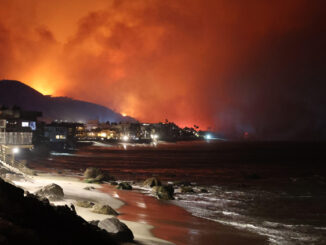
In August, Tropical Storm Hilary moved across southern California, causing mudslides and devasting flooding. Hilary was the first tropical storm to hit this part of the United States since 1997. The first ever tropical storm watch was issued for Southern California.
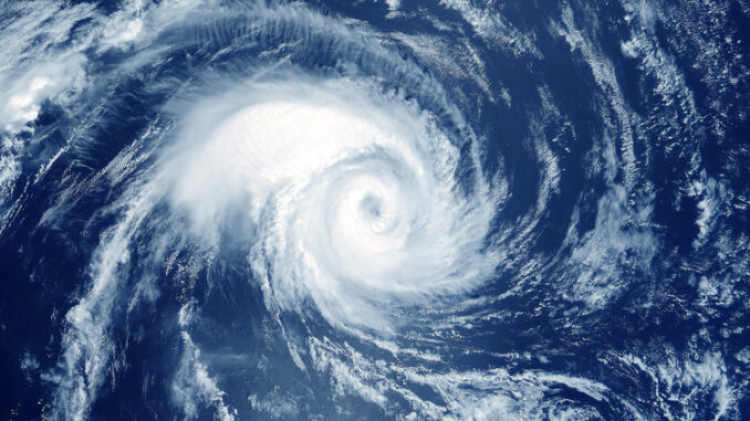
These types of storms are common along the east coast of the United States and the Gulf of Mexico. In this area, the warm water currents near the equator move north toward land. The warm water provides the energy needed to fuel tropical storms. Winds sometimes blow these storms to shore.
On the west coast, cold water currents from the north move south toward the equator. Since the ocean water is colder, the energy needed to fuel tropical storms is usually not available near California. Most tropical storms do not make it as far north as the United States. Winds tend to blow storms further out to sea where they lose energy.
This summer was an El Niño year, so the equatorial Pacific Ocean was warmer than usual. The coastal waters near California were also warmer than normal. As a result, there was more energy available and Tropical Storm Hilary developed and quickly strengthened into a hurricane. The winds steered the storm toward southern California. As the storm traveled north into cooler water, it weakened and made landfall in California as a tropical storm.
Experts say that the conditions that led to this storm were unusual, but it could happen again. The impact of climate change on hurricanes is not yet understood, but one thing —we do know is that ocean waters continue to warm. What Do You Think? Should California be prepared for more storms like this? Why or why not?
Photo Credit: Artsiom P/Shutterstock